How many people can say they have hiked an active volcano? Not many! Now you can when you visit Mount St. Helens. On this majestic mountain, you’ll find more than 200 miles of trails filled with gorgeous summer wildflowers, young forests, crystal-clear lakes, and even a growing volcanic crater. You’ll have to see this natural phenomenon for yourself!
Where is Mount St. Helens?
Mt. St. Helens is located in the expansive Gifford Pinchot National Forest. It is part of the Cascade Volcanic Arc, one segment of the Pacific Ring of Fire. To hike through many parts of the forest, including parts of this volcano, you’ll need a Recreation Pass. To go above 4,800 feet on Mount St. Helens from April 1 to October 31, you will need a Climbing Permit. Each permit is $22 and must be bought online at least 24 hours before you visit. Because there are only a limited number of these permits, we recommend getting yours as much in advance as possible so you don’t miss out!
Mount St. Helens History
The western side of Mount St. Helens was transformed by its most recent eruption in 1980. Ancient forests were immediately destroyed by the explosions and a new landscape was formed including a lake and an enormous crater. If you’d like to see this area, try the trails on the western side. Almost every mile offers excellent views into the mouth of the crater and gorgeous wildflowers line the pumice plains and ridges. Here are a few of our favorite trails:
Hummocks Trail
The Hummocks Trail spans 2.3 miles with an elevation change of 300 feet. Open from late June to November, this is one of the best trails to witness the devastating effects of the 1980 eruption. You’ll get to see the remarkable changes to the North Fork Toutle River; once an old-growth forest, this valley is now defined by towering mounds of ash, rock, and mud.
Harry’s Ridge
When you hike Harry’s Ridge, you’ll be accompanied by the plethora of Indian Paintbrush that line the sides. Make your way up the 8-mile hike with an elevation change of 1,400 feet to witness the gorgeous landscape. Backcountry access during the late June to November presents wildflowers at mid-summer, and an amazing view has you looking straight into the mouth of the crater. You’ll have a direct view of Loowit Falls and an emerging glacier. Plus, you can even see Spirit Lake, Mount Adams, and Mount Hood on a clear day.
Other Mount St. Helens Hikes
If you travel to the eastern side of Mt. St. Helens, you’ll find a variety of habitat. Some areas were beyond reach of the blast, so you can still find the cool shade of ancient forest. However, you can also see the ghostly Spirit Lake with silver logs still floating in its waters and countless trees blown down at the edge of the blast zone. If you want to explore here, we recommend trying these trails:
Meta Lake
Meta Lake is a quick 1.3-mile round trip with an elevation gain of 50 feet. The trail is paved, so it’s an easy hike! Because it was in the blast zone, a young forest has now popped up. Many of these trees were saved during the eruption because of the thick blanket of snow they were under! When you reach the lake, take a moment to enjoy the quiet and calm of the area.
Norway Pass
The Norway Pass is an excellent way to see the rocky ash and treeless areas the 1980 eruption created. However, the destruction is beautifully counteracted by wildflowers, shrubs, and green vegetation. When you reach the pass, you’ll get to see a breathtaking vista. An avalanche of debris spills from the crater onto the pumice place, and you can see the hundreds of trees floating in Spirit Lake.
Relax at Carson Ridge Luxury Cabins
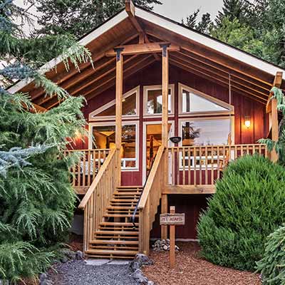
Carson Ridge Luxury Cabins is the perfect place to come back to and relax. There’s nothing like cozying up in your private cabin after a long day of hiking Mt. St. Helens! Plus, we even have a cabin named after the powerful volcano. Our Mount St. Helens Cabin offers stunning views of the Columbia River Gorge, a handmade four-poster bed, Jacuzzi tub, and more. We look forward to seeing you!


